On Tuesday, while many of us were enjoying some much-needed rain, stormy skies were brewing over Prince Edward Island.
Thunderstorms were travelling along a very slow-moving cold front that was starting to tap into moisture funnelling northward from the remnants of tropical storm Jerry.
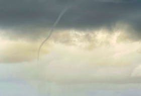
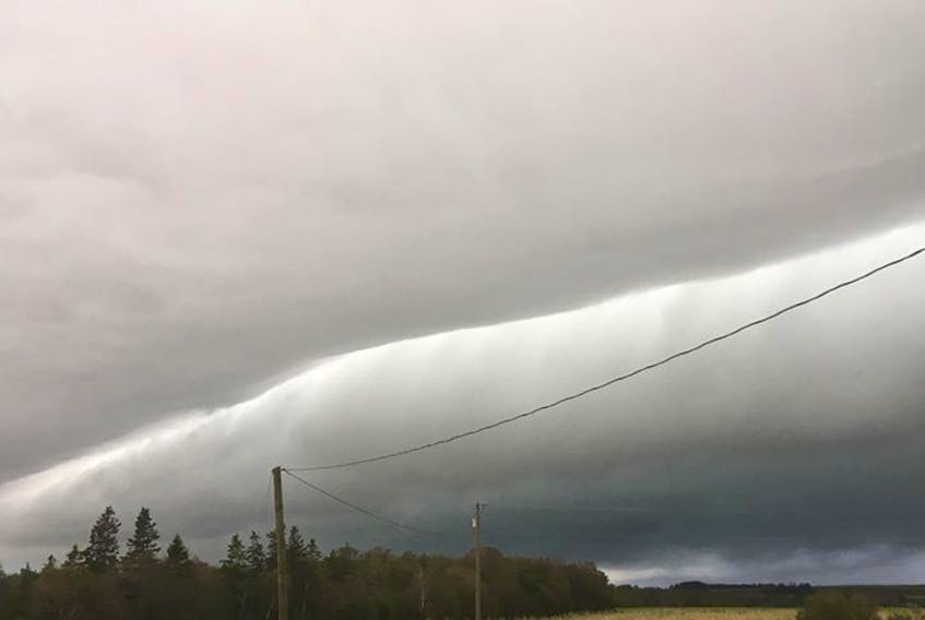
Just after 8 a.m., as an ominous grey covered the sky over eastern P.E.I., Ellen and Theo Kouwenberg looked up and spotted something that looked like a rolling pin.
“ …yesterday (Tuesday) morning for about 10 minutes in the Vernon River Area of P.E.I. we experienced something similar to tornado-like conditions, causing more damage than Dorian – lifting roofs off barns and throwing trees onto the road, blocking school buses. Thunder and lightning were also extreme. And it was followed by heavy rain mixed with hail. It came and went in about 10 minutes. …”
Not far away, in Montague, P.E.I., Gerry Foote saw the same thing.
Ellen, Theo, Gerry and many others witnessed a roll cloud. Roll clouds are often associated with cold fronts. They are a result of downdrafts ahead of an advancing storm.

On Tuesday, the warm, moist air that sat at the surface was pushed up by the sinking cold air ahead of a cluster of thunderstorms. The moisture condensed, forming clouds. The final ingredient was a westerly breeze a few hundred metres up that gave the cloud its unique shape. This cloud often extends uniformly along the frontal line and can last for many hours and extend far into the distance.
I was happy to hear that no one was injured. Thank you for taking the time to send photos; I always welcome the opportunity to explain nature with a little science.
- Visit your weather site.
- Have a weather question, photo or drawing to share with Cindy Day? Email [email protected]
Cindy Day is the chief meteorologist for SaltWire Network.