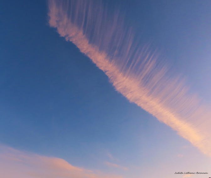
I’m forever asking you to keep an eye on the sky so maybe that’s why this cloud caught Judy’s attention earlier this month. It was a lovely sunny day in Cape Breton when Judy LeBlanc-Brennan spotted this intriguing cloud over the pond in Florence.
She says, “It looks like an eyelash cloud.” It sure does Judy but as is often the case, it has a scientific name; it’s a cirrus cloud.
Cirrus is Latin for “curl of hair” and as its name suggests, cirrus clouds are thin, wispy strands of clouds that streak across the sky. Because cirrus clouds appear above 6,000 metres – an altitude where low temperatures and low water vapour exist – they are made up of tiny ice crystals rather than water droplets.
When you see them:
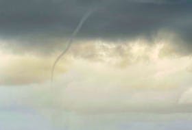
Cirrus clouds are almost always present at high altitudes. Isolated displays of cirrus clouds on an otherwise clear day don’t have a big impact on the weather. However, when a large number of cirrus clouds form, it’s time to take notice; it usually means a storm is approaching.
Cirrus clouds themselves cannot produce precipitation because they occur so high in the atmosphere. However, as moisture and air masses move and fall, the cirrus cloud may transform into other types of clouds at lower altitudes, which can then bring rain or snow. Organized areas of cirrus clouds can form out ahead of warm fronts and large-scale storms like nor’easters and tropical cyclones.
From decades of careful observation, sailors learned that they are forerunners of rainy weather. You’ve no doubt heard this one: “Mare’s tails (cirrus) and mackerel scales (altocumulus) make lofty ships to carry low sails.”
These types of clouds are influenced by shifting wind directions and high speeds, typical of an advancing low-pressure system. Mariners knew that the combination of “mare’s tail” above “mackerel scales” meant deteriorating weather conditions; wind and rain were on the way, so the sails should be lowered to keep them protected.
…there was no app for that.
- Visit your weather site.
- Have a weather question, photo or drawing to share with Cindy Day? Email [email protected]
Cindy Day is the chief meteorologist for SaltWire Network.