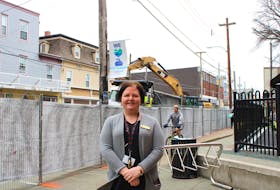
UPPER NAPPAN, N.S. — Mike Johnson is going to be spending a lot of time on his feet in the coming months.
Cumberland County’s EMO co-ordinator plans to go door-to-door in areas surrounding the Tantramar Marsh near Amherst talking to business owners and residents and gathering information should an emergency arise.
“My goal is to collect contact information from those people along the Bay of Fundy marshes and low-lying areas around the same,” Johnson said. “It’s not only for the potential that exists for flooding in a major storm like a hurricane and the exacerbating issues from sea level rise, but also for those homes that could be cut off.”
The Tantramar Marsh has been identified as being at increasing risk of flooding due to sea level rise over the next 50 to 80 years. The potential for flooding will also increase as the volume of ocean water increases due to warmer atmospheric temperatures and melting icepacks around the world.
“This increased sea level along with significant low pressure systems and storm surge combine to raise the risk of flooding when they occur at the same time at high tide,” Johnson said. “Increased intensity of weather systems also puts the dikes at a higher risk, especially during the spring thaw when frost is leaving the dikes.”
We want to identify all these people so we have the means to quickly get messages and information to them about the potential risk of some event taking place
Johnson said it’s better to be prepared should a major storm breach the protective dikes and the more information the better should people’s homes in those areas most at risk be cut off. The EMO co-ordinator said road access being restricted or cutoff could impact emergency response teams such as fire, EHS and police.
An eight-metre storm surge, similar to that of the Saxby Gale in 1869, could come over the top of the dikes and cut off roadways and rail lines.
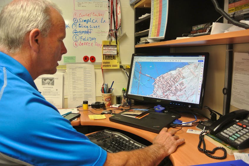
Johnson said he will be collecting phone numbers and email addresses that will be loaded into a mass notification system.
“We want to identify all these people so we have the means to quickly get messages and information to them about the potential risk of some event taking place,” he said. “If we become aware of a situation developing we can expeditiously get that information out to them so they can take steps to either get out of there, or prepare.”
He will also be asking people if they have an oil tank and where it’s located and if they have an emergency plan and an emergency kit.
Johnson is looking at areas around Amherst to Maccan, Minudie and portions of the Barronsfield and Lower Cove roads as well as East Amherst, the Smith Road, Porter Road and Nappan Road in Nappan.
“There are areas, such as along the Barronsfield Road and the Lower Cove Road, that should the protective dike be breached people in certain areas of Minudie could be cut off,” Johnson said. “This is not meant to scare anyone, but we do want to start planning for things as far down the road as the consequence of sea level rise. This is a starting point. Hopefully, I’ll be long gone from this position when this data gets used for the purpose it’s intended for.”
Johnson said it’s a matter of preparing and planning as well as talking to people about what emergency planning they are going to do. He wants people to think about their options should something happen.
“We want people to be aware so they can prepare,” he said.
Johnson’s work will also build on a study announced in May 2018 that will explore ways of protecting a vital transportation link between Nova Scotia and New Brunswick in the Isthmus of Chignecto.
The study, which is receiving $350,000 in federal funding as well as $175,000 from both the New Brunswick and Nova Scotia governments, will look for viable options to mitigate climate change impacts on the isthmus.
The study will involve a comprehensive engineering assessment of existing infrastructure, consultation with stakeholders and options to protect and sustain the trade corridor that includes both the CN rail line connecting the Port of Halifax to the rest of the continent and the Trans-Canada Highway, along with transmission lines and agricultural dikes.