He does most of his exploring in the hills above the Wentworth Valley. When he read that the highest point on mainland Nova Scotia was Nuttby Mountain, he was surprised and maybe a little bit upset.
“I didn’t believe Wentworth wasn’t the highest, it just didn’t sit right with me, it didn’t seem right,” he said.
Wikipedia says Nuttby is the highest, numerous hiking blogs and trail descriptions say Nuttby, and even peakbagger.com, a webpage for people who want to climb to the highest point in every state, province or country, says Nuttby is the highest peak on Nova Scotia’s mainland.
Wilson first talked it over with his girlfriend Erica Van Vulpen and her family, all avid hikers from the Wentworth Valley.
A quick look at topographic maps seemed to indicate a couple spots on Higgins Mountain were higher than Nuttby. Higgins is part of a ridge west of Folly Lake running along the west side of the Wentworth Valley.

And then there was that tall pointy peak north west of Hart’s Lake – maps don’t give it a name, but Wilson thought it might just be a contender for the highest point on Nova Scotia’s mainland.
As luck would have it, Wilson was meeting last fall with the people at Geographic Information Services (GIS), the people responsible for the official maps of Nova Scotia. Wilson arranged the meeting to suggest some corrections for the maps of the Wentworth area, like missing communication towers, missing gates, look-offs and possible confusion regarding trails and abandoned roads.
“We were poring over the maps for hours and at the end, I just thought, while I’m here, I’m going to ask,” recalls Wilson.
Where is the highest point on the mainland of Nova Scotia?
Colin MacDonald is the director of GIS. His department not only makes the maps, they are the official registry of Nova Scotia place names, and they collect the data that goes on the maps, data like the elevation of every point of land in the province.
The province used to use aerial photography to measure elevation and he says they have photos going back to the 1950s and 60s. The most recent fly over for Nova Scotia was 2013. Using those measurements they could count on an accuracy of plus or minus 2.5 metres.
Now GIS is using LIDAR – basically pulses of light bounced off the Earth from an airplane – to measure elevation.
GIS has just completed the first year of a three- to five-year project to survey the province with LIDAR. They are working east to west and have already surveyed the Cobequid Mountains including Nuttby and the Wentworth Valley.
“It depends on the survey, but with LIDAR the accuracy is typically 15 centimetres. I could tell you the heights of the highest points down to the centimetre,” says MacDonald.
The highest point in all of Nova Scotia, White Hill in the Cape Breton Highlands, is marked with a survey monument.
The heights of all these places, of every feature in the province, are available in Nova Scotia’s topographic database – which has been available to everyone, online, for free since 2002.
The database pegs White Hill at 532.6 metres above sea level.
Nuttby, just west of Highway 311, where the old fire tower used to be, and 22 windmills now sit, is 359.6 metres above sea level.
Higgins Mountain in Cumberland County is 363.7 metres.
And the unnamed peak north west of Hart’s Lake? Wilson hopes it can be called Hart’s Peak – he says it deserves a name since it is the highest point on the mainland of Nova Scotia at 365.02 metres above sea level.
“I really like that there is no trail to the top of this peak,” says Wilson. “It’s in the middle of the proposed Wentworth Valley Wilderness Area where it will be protected from roads and development. The highest peak on the mainland of Nova Scotia is a beautiful wild place.”

The high point
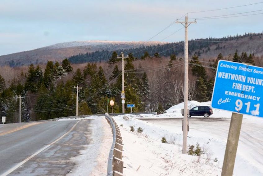
The highest point on the mainland of Nova Scotia is visible to the northeast as you drive over the train bridge on Hwy 4 just north of Folly Lake if you know where to look.
On the maps it has no name – but you can find it easy enough by looking for the high point, at 365 metres, northwest of Hart Lake – the rise of land is surrounded by Horse Pasture Brook on the north and west sides, and by Hart Lake on the south.
Its coordinates are North 45° 35' 1" and West 63 ° 32' 1".
Old logging trails wind through the woods of the lower slopes, woods of mature red spruce and scattered hardwoods. Small fast moving streams tumble downhill, digging deep gullies and mossy gorges, hiding big showy waterfalls.
The upper slope is the perfect kind of peak that often gets named Sugarloaf. It rises quickly, from 200 metres above sea level to 365 metres over a horizontal run of 600 metres; that’s a 27 per cent slope. That is steep.
The upper slopes and the top of the hill are covered in mature hardwood – when you get on top there is no obvious look off or particular high point, although, in late fall and winter, you can see enough to know you are above the ridges around you.
The best views are on the trip up as you get good looks at nearby ridges and valleys. A big meadow at the base of the high point’s upper slopes allows a great view of the high point itself.
The unnamed peak sits in the middle of the proposed, but not yet designated Wentworth Valley Wilderness Area. The wilderness area will protect 1,899 hectares of undisturbed forest and some of the highest elevations on the mainland of Nova Scotia.