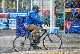

One week from today, we will be greeting the new season. This year, the vernal equinox takes place during the early afternoon hours of March 20. Many would agree that our winter was quite “spring-like” until … a couple weeks ago!
What exactly happened? Well, I guess you could say we got caught up in a parade of nor’easters.
Let’s step back a moment and look at what exactly separates a nor’easter from a regular weather system.
Contrary to popular belief, nor’easters don’t come from the northeast. A nor'easter is named for the wind that blows in from the northeast and drives the storm up the east coast along the Gulf Stream.
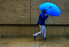
Nor'easters can occur along the eastern seaboard any time between October and April, when moisture and cold air are plentiful. They are known for dumping heavy amounts of rain and snow, producing hurricane-force winds, and creating high surf that can cause severe beach erosion and coastal flooding.
The two main components of a nor'easter are a Gulf Stream low-pressure system and an arctic high-pressure system. Gulf Stream lows develop off the coast of Florida and intensify in the stream. The low then spins off the coast, gathering warm air and moisture from the Atlantic. Strong northeasterly winds at the leading edge of the storm pull it up the east coast.
That’s where the Arctic high comes into play. As the strong northeasterly wind pulls the storm up the east coast, it meets with cold air blowing down from the north. When the two air masses collide, the moisture and cold air produce a mix of precipitation. The resulting precipitation depends on how close you are to the converging point of the two systems.
So to be a nor'easter, the predominant wind direction during the height of the event should be from the northeast, not the northwest or southeast. Also, the general rule of thumb is that the wind should be at least gale force or 62 km/h at the coast or just offshore. For those along the coast who experience them, nor'easters usually come with significant storm surge and powerful waves that can lead to coastline erosion, and coastal flooding.
Will this be our last? I don’t believe so. The upper air flow is still set up to produce another nor’easter or two, so keep your shovel handy!
Cindy Day is chief meteorologist for SaltWire Network. Get your regional forecast at weatherbyday.ca.